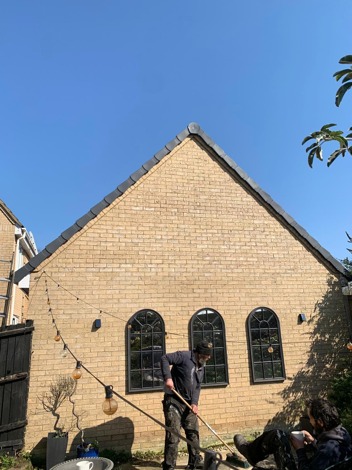
Site Surveys
Mapping land, boundaries, and risks before any build begins.
A site survey is the first step before any construction or repair work. It measures land boundaries and levels, identifies existing structures, utilities, and access points, and detects risks such as flood zones, slopes, and underground services. A proper survey prevents building errors, legal disputes, and costly redesigns.
Common Damage
1. Boundary Disputes
- Unclear or incorrect property lines
- Encroachment from neighbouring structures
- Missing or outdated title plans
2. Unmapped Utilities
- Undocumented underground services
- Risk of striking gas, water, or electrical lines
- Delays and safety hazards during excavation
3. Site Access Issues
- Restricted access for plant and machinery
- Sloped or uneven approach routes
- Overhead obstructions limiting movement
Repairs
minor Repairs
- Update existing site plans with new measurements
- Mark boundary pegs and access points
- Cross-check title deeds with physical layout
moderate Repairs
- Commission a fresh topographical survey
- Resolve boundary discrepancies with neighbours
- Map underground services with utility scans
major Repairs
- Full re-survey of the site after disputes
- Legal boundary redefinition
- Complete redesign of site layout based on findings
New Installation
When Replacement Is Needed
- Before purchasing or developing a plot
- Prior to extensions or new builds
- When access or boundaries are unclear
- Before applying for planning permission
Installation Steps
Topographical Survey
- Map land features and elevations
- Record existing structures and trees
- Establish levels for design work
Boundary Survey
- Define legal property lines
- Cross-reference with title deeds
- Mark corners and key points on site
Geotechnical Survey
- Assess ground conditions
- Links directly to soil testing
- Inform foundation design choices
Utility & Risk Mapping
- Locate underground services
- Identify flood zones and slopes
- Note access points and constraints
Lifespan
- Topographical Survey
- Valid 2–5 years
- Boundary Survey
- Long-term unless disputed
- Geotechnical Report
- Site-specific, project-based
- Utility Maps
- Update before each project
Warning Signs
- Unclear property boundaries
- Planning a new build or extension
- Recent ground movement nearby
- Disputes with neighbouring properties
- Old or missing site plans
Other Construction Services
Soil Testing
Ground investigation to confirm the land can carry the build.
Damage Assessment
Identifying ground and structural problems before they spread.
Repairs
Fixing existing ground and structural problems safely.
New Construction
Building safely on the back of solid survey and soil data.
Budgeting & Cost Estimation
Planning spend, estimating repair and build costs, and protecting against overruns.
Project Management
Planning, coordinating, and controlling works to deliver on time, on budget, and to spec.
Need Help With Site Surveys?
Get in touch for a free, no-obligation quote. We'll survey the job and talk you through the options.
Get Your Free Quote